MOJAVE TRAILS NATIONAL MONUMENT: Photographs from California's Desert
Text: Andreea Lotak; Photos: Justin & Andreea Lotak · 5 min read

Cadiz Dunes Wilderness, Mojave Trails National Monument, California
There is something about deserts that grabs our imagination unlike anything else. Maybe it's their endless horizons, or the fact that the line between life and death is constantly blurred by the unforgiving sun. Thousands of species have adapted to scarcity in order to make a living in these arid lands. Humans are no exception. The name "Mojave Trails" was given to reflect the history of long travels and temporary habitation, from the ancient native tribes, to the Spanish explorers, the railroad builders, the "Mother Road" - Route 66, connecting the east to the west and the hopeless to hope, all the way to World War II training camps, and to today's visitors in search of something larger than life.
The morning we hiked up the dunes in the Cadiz Wilderness the trails dotting the sand and crisscrossing in every direction were of a different nature, but told a similar story. Dozens of species in the desert come alive at night: Pinacate beetles, desert kangaroo rats, snakes, lizards, coyotes and foxes, all left a mark in search for food, water and paths toward distant lands.
The day before we had walked the lunar landscape of the Amboy Crater, one of North America's youngest volcanos and a precious study site for volcanologists. The arid valley was enclosed by a fortress of mountains that seemed to be catching fire at sunset. The Mojave desert is the driest in North America, with temperatures often jumping 100 degrees F (40 degrees C). It's also one of the most intact ecosystems left in California, spreading into southern Nevada as well. In 1994, Sen. Diane Feinstein (D-Ca) started her crusade to pass legislation that would better protect this desert. Joshua Tree National Monument was then elevated to the status of a national park, the Mojave National Preserve was created and the foundation was laid for increased protections. In 2016, with substantial support from The Wildlands Conservancy, who purchased and then donated close to half a million acres, three new national monuments were designated: Sand to Snow, Castle Mountains and Mojave Trails. Then, a few months later, two of these national monuments were listed for review and revision by the current presidential administration, alongside 25 others. With over 75% of Californians favoring the monuments, they were removed from the review list eventually and the Mojave Trails is considered safe for the time being. Below is a selection of photographs which show why such a place is worthy of all protection.
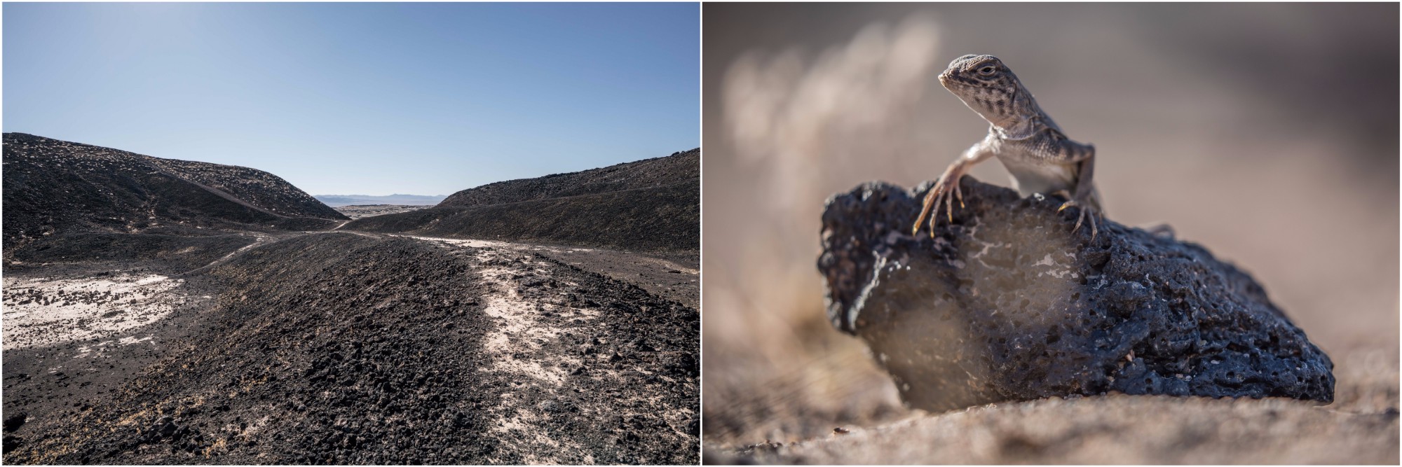
Left: Inside the Amboy Crater in the mid-afternoon sun. Now an extinct volcano, it appears that the last eruption took place around 10,000 years ago, adding to the already huge lava field surrounding the Amboy Crater. This is one of North America’s youngest volcanos and was designated a National Natural Landmark in 1973. The hike up to it is not a complicated one and it took about 1 hour for a roundtrip. However, the volcanic rocks which are everywhere you step have very sharp edges and can easily cut. With that in mind though, enjoy the feeling of being a solitary explorer of a distant planet as you make your way to the crater. Right: A curious zebra-tailed lizard that decided we were worthier of a thorough inspection rather than running away from us. These lizards are very fast, wiggle their tails when threatened and are commonly alert for predators. They are wide-spread and — although usually skittish — you can find them across the Mojave, Colorado and Great Basin desert ecosystems.

The Amboy Crater seen from a mile away
The lava field surrounding it spreads across over 27 sq mi (70 sq km)

Rugged mountains along the historic Route 66

Roy’s Café is one of the landmarks on the historic Route 66. The monument includes one of the best preserved original sections of the road. In the middle, Justin is sampling a root beer brand named after the famous highway.

walking at sunset in the cadiz dunes wilderness within the national monument
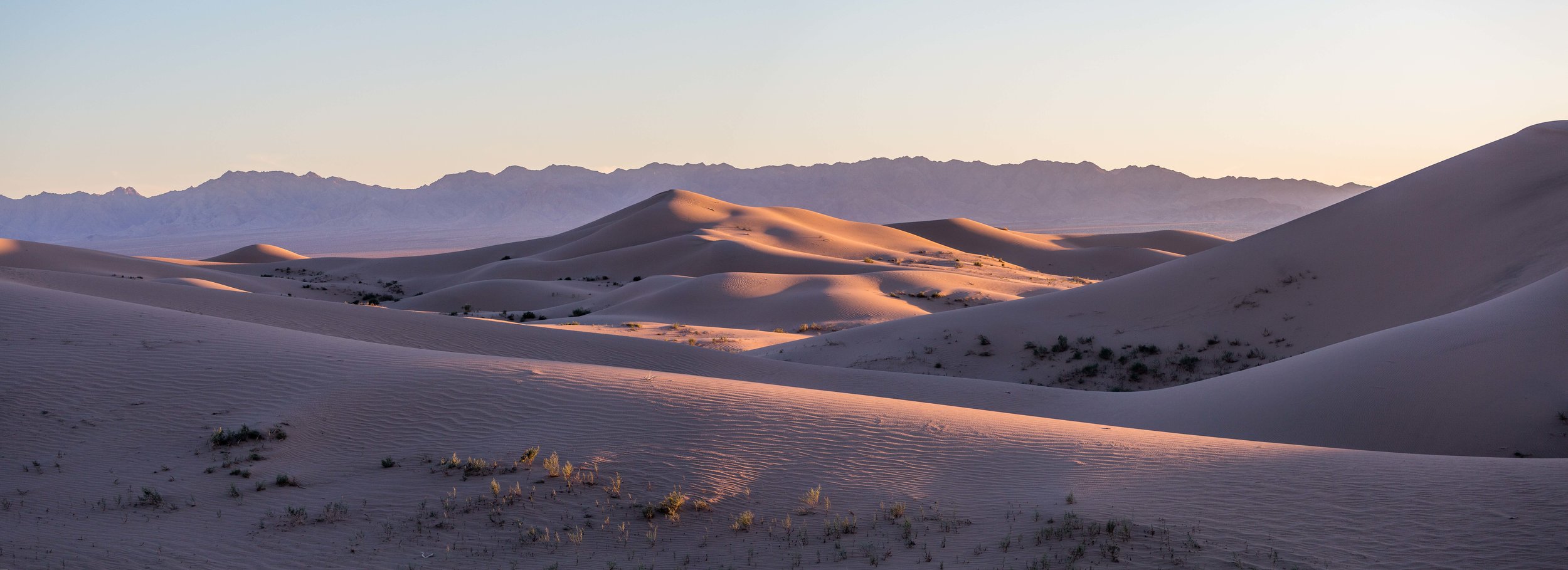
A bit more of the sunset magic. The quiet, wild beauty of these dunes and the mountains and lands surrounding them face the highest risk currently from a proposed water project nearby. A system of pipelines built and managed by Cadiz Inc would pump water from the fragile desert ecosystem's aquifer to the crowded communities of Southern California. This project is at odds with Diane Feinstein's vision, as well as with that of many environmental groups that have fought to see the project halted. More important, it is at odds with protecting the precious ecology of the Mojave.

In the bright sunrise light our footsteps from the previous evening had disappeared and were replaced by long trails from the Pinacate beetles.

Left: a Pinacate beetle on its way to cross a massive sand dune. They never drink water, instead they extract the necessary fluids from fungus and decaying vegetation that they consume. When approached, you might see them do a strange headstand; that’s a defense mechanism to deter predators, as they release into the air a sticky, noxious substance that is hard to remove. If you’re bent over one as it’s doing the headstand, you might want to reconsider your position. Right: The Cholla cactus looks more like a fluffy teddy bear, but its spines are some of the hardest to remove. Within the Mojave Trails National Monument, the Bigelow Cholla Garden Wilderness harbors the largest density of Cholla cacti in California.

A giant dry lakebed crossed by a road connecting remote communities along the vast expanse of the Mojave. This was one of the eeriest places to camp and it truly felt like a landscape from another world. Images are taken with a drone along a public road right between the Mojave Trails National Monument and the Mojave National Preserve (drones are not allowed inside either one of the two conservation areas).
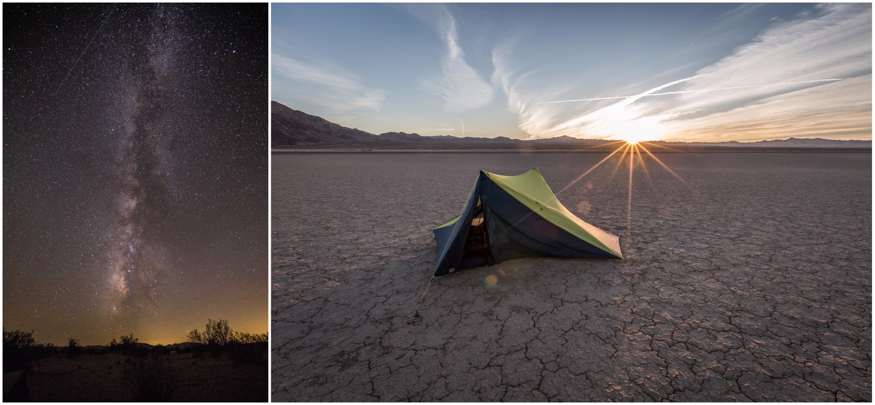
Left: The night sky lights up with a million stars shortly after sunset. Right: The tent set up on a dry lakebed, surrounded by mountains created through intense seismic activity. It was the last night spent camping in the desert.
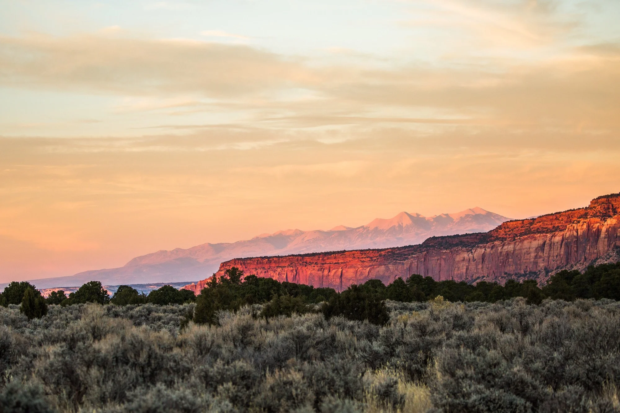
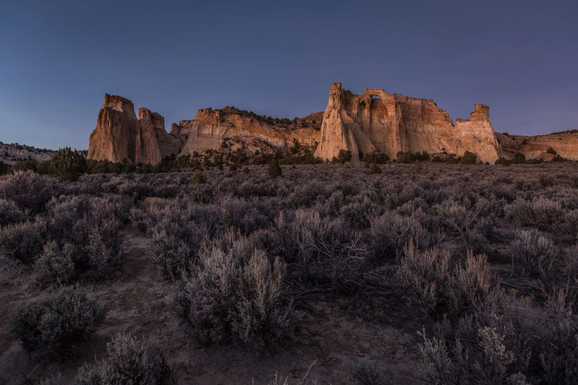

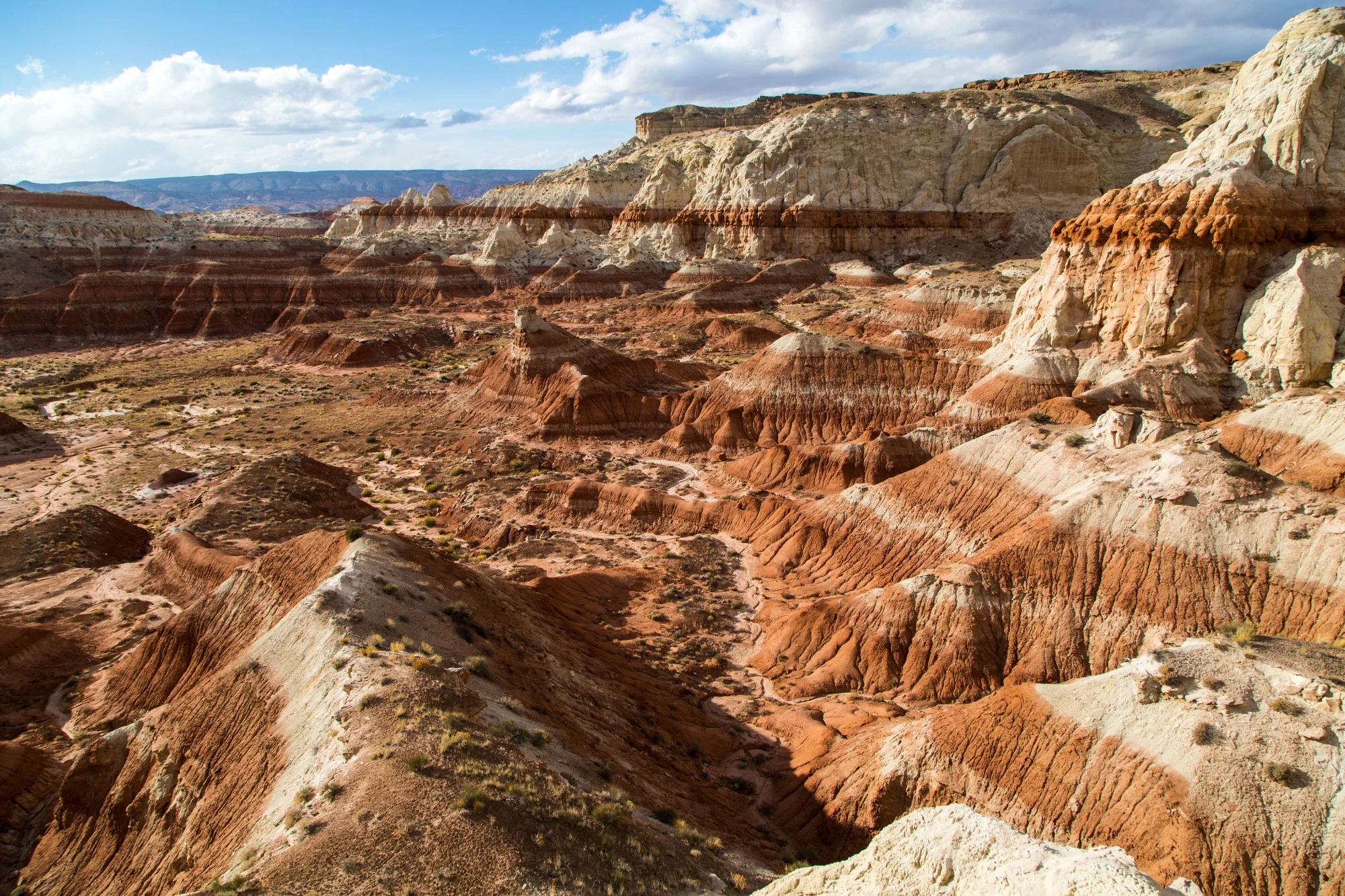


To date, President Joe Biden has designated five national monuments since coming to office in 2021. Here we take a look at four of those five national monuments that had a land conservation element, and what might be on the slate before the end of his first term.